Look closely at data and you’ll see what someone cares for.
We solve business problems with applied science, and we take responsibility for the result.
Talk to us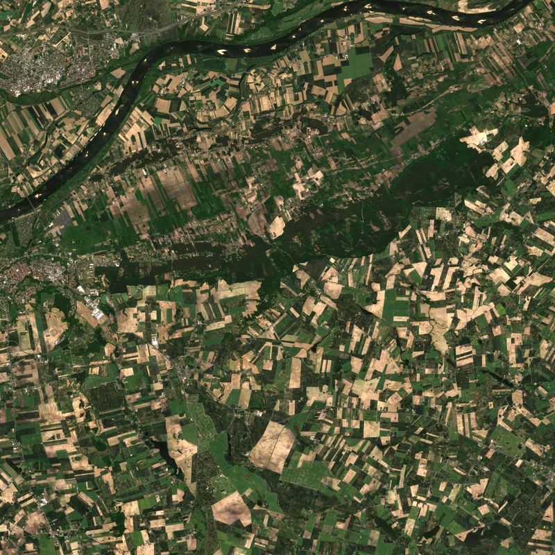
The Vistula near Chełmno. Sentinel-2, 26 May 2026.
What we do
Risk and pricing analytics
Prices that match the risk, and a clear view of what drives a loss, a margin or a yield.
Predictive models built on your records and outside data, running in the tools your pricing and risk teams already use. They show where prices miss the risk and can feed dynamic pricing. Each model is tested on data it has not seen.
Image, video and document analysis
Faster, better-founded assessments of what images, video and documents show.
The models work across resolutions and sources. In the EOImageNET project for the European Space Agency we built five detection models covering 26 object types.
Combining data from many sources
One assessment of each location or field, based on data from different sources.
When sources disagree, the assessment shows which ones support the result and which contradict it, so every decision can be checked.
We take responsibility for the result
We agree the goal with you before we start.
We agree the goal with you before we start. (How we work)We test the solution on your data before you rely on it.
We test the solution on your data before you rely on it. (How we work)After release, we look after both the solution and the results.
After release, we look after both the solution and the results. (How we work)
Research
- EO4Soil European Space Agency (ESA) Consortium lead Soil condition from satellite data Running, October 2026 – July 2027 EO4Soil (Research)
- AgriSatCom National Centre for Research and Development (NCBR) Consortium lead AI on satellite and aerial images for agriculture Running, October 2024 – September 2027 AgriSatCom
- EOImageNET European Space Agency (ESA) Sole contractor Object detection in satellite, aerial and drone imagery Completed, October 2024 – January 2026 EOImageNET (Research)
EO4Soil is carried out under a programme of, and co-funded by, the European Space Agency. The views expressed here can in no way be taken to reflect the official opinion of the European Space Agency.
AgriSatCom. Project co-funded by the National Centre for Research and Development under the INFOSTRATEG Strategic Programme.
EOImageNET has received EISI support from ESA. This page reflects only our view and not that of the Agency, and the Agency is not responsible for any use that may be made of the information it contains.
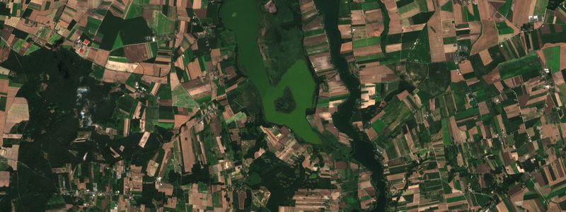
Lake Gopło and farmland. Sentinel-2, 12 August 2025.
Scientists, engineers and consultants
Researchers, ML engineers, IT architects and consultants who know your industry.
TeamHow it starts
A conversation about what you want to achieve, how we will measure it and the data you have.
A short study on your data, with a written result.
Delivery: we build the solution and help you run it, so it keeps delivering results.